Insurance
Drones have become an invaluable tool for all parts of the insurance industry. They operate at a much lower per-hour cost than traditional manned inspections. The data they collect can help assess risk before insuring, simplify and streamline preventative maintenance, and assessing damages after a catastrophic event. See also facade and roof.
Having data of the insured property allows adjusters and underwriters to obtain the detailed information they need in a fraction of the time. This information is used to assist in underwriting risks and adjusting claims.
With the ability to quickly capture hundreds of high-resolution images, a 3D model of the insured property can be created. Access to the 3D model can be viewed from a computer or mobile device. Our solution provides an in-depth report detailing property conditions with far more accuracy than traditional inspection methods, at a fraction of the cost. The NB Hawk 3D model provides it's clients with the ability to assess a property by taking measurements and sharing comments with others, thereby gaining the ability to make informed decisions.
Catastrophic
Damages
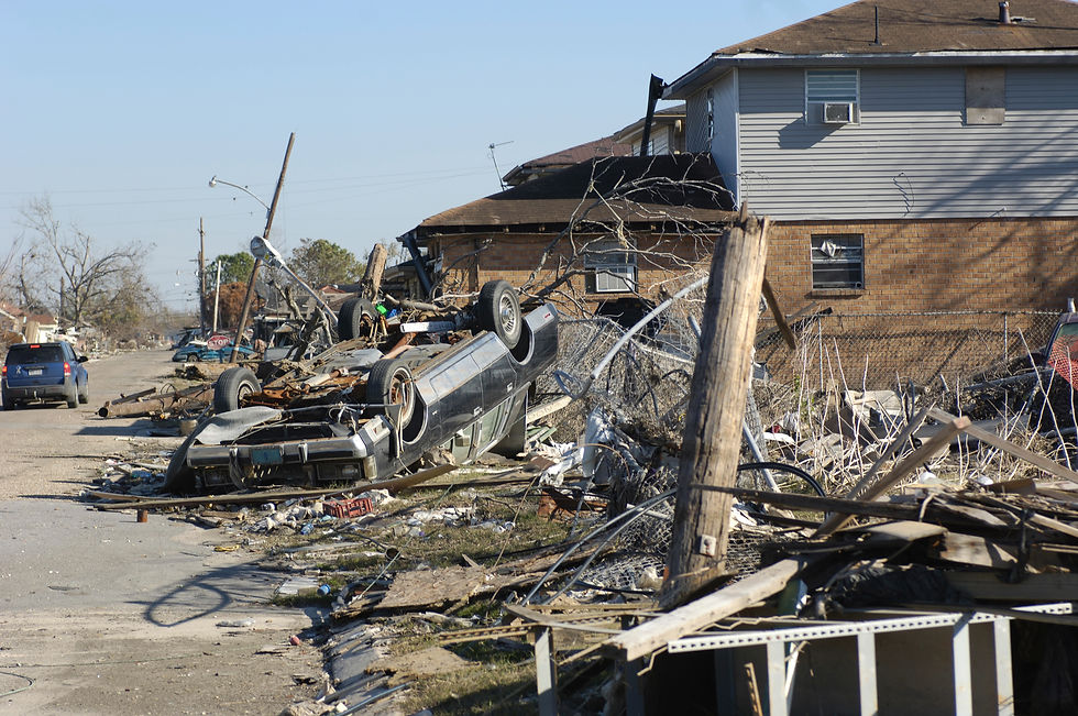
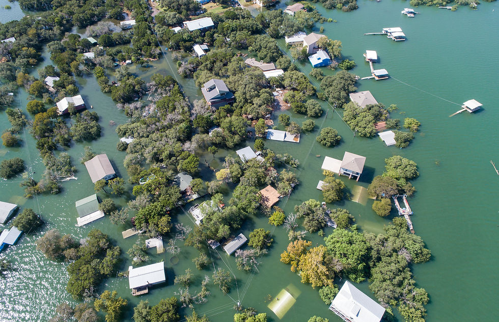
After a tornado, hurricane, flood, or fire, insurance companies are entrusted with quickly assessing the damage and paying out claims to homeowners and affected businesses. Drones can access areas not available to adjusters on the ground, allowing for more accurate estimates of damages.
Dispatching a drone before and after a catastrophe provides valuable information for insurers to realize the extent of damage and make quick decisions. This allows claims to be paid quickly and helps put the insured back on their feet.
Crop Insurance
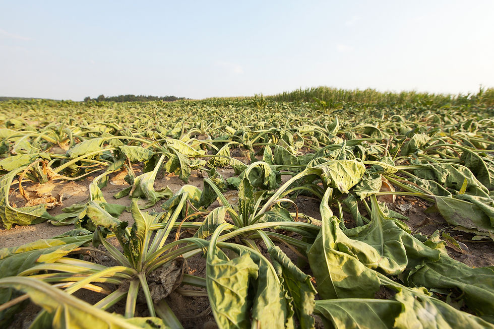
For many farmers, filing an insurance claim requires that their insurer conduct a costly and time-consuming appraisal. This process traditionally involves someone physically coming and surveying the land, gathering visual data and building a claim from their notes. Traditionally, adjustors would stand on the back of a truck, overlooking a field, taking pictures as best they can. Then using those pictures to make an assessment of the damage. Often this data does not have adequate information to assess the damages properly to inform the farmer or the insurance company.
Drones offer a better way to collect data. They offer accelerated inspections, with capabilities to assess 200 acres in 20 minutes. The NB Hawk precision mapping capabilities provides our clients with accurate and precise information detailing the location and the extent of the damage. Our solutions provide information to both farmers and insurance companies which allows for consistent, accurate and expedited payouts.