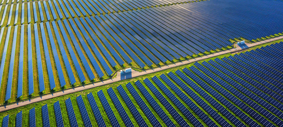
Solar Panels
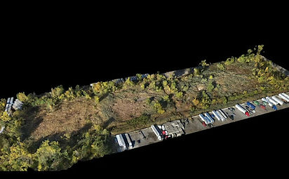
Developers have traditionally used helicopters and ground based survey teams to generate measurements. These methods are expensive, time consuming and introduce safety hazards.
With the use of drones and AI software,
data is collected up to 5 times faster and 5 times cheaper, and can be used to generate topographical maps, calculate slopes, and determine grading estimates.
The data collected can be used to generate orthomosaic maps, elevation maps, and 3D models, helping customers generate grading estimates and slope calculations.
\
\
The data collected can also be used for hydrology studies that show drainage patterns and flow rates of storm water runoff, identifying risks of erosion and flooding, and highlighting potential mitigation measures.
Developers and construction firms can use drone data collected to assess project cost and its feasibility. Our service provides teams and stakeholders this data without requiring them to be onsite pre and post construction.